Note for Readers: This article provides general information only. It is not emergency guidance, hazard instruction or a substitute for official tsunami warnings, alerts or evacuation messaging. The Joint Australian Tsunami Warning Centre, the SES, the Queensland Government, City of Gold Coast and Redland City Council provide the only authoritative directions during a tsunami threat. If any content here differs from official instructions, the official instruction is always the correct one to follow.
Understanding the Gold Coast Tsunami Risk Profile
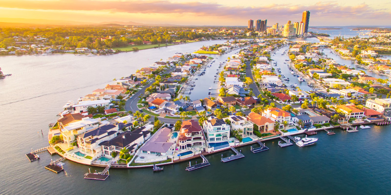
The Gold Coast is a place where the ocean is woven into daily life in a way that feels constant and predictable. Surf rolls in long, rhythmic sets. Tides move gently across wide sandy beaches. Creek mouths breathe in and out with familiar patterns. Even storms and king tides follow seasonal rhythms that people internalise without realising they have done so. Because of this, when people hear the word tsunami, the mental picture they build is drawn entirely from overseas imagery: deep ocean trenches right off the coastline, narrow bays that funnel destructive energy, steep volcanic islands where the seafloor drops away suddenly, and catastrophic waves hitting with very little warning.
But the Gold Coast is not built on the edge of a trench. It is backed by one of the broadest continental shelves in Australia, a gently sloping submarine plain that stretches outward for an extraordinary distance. Long before a tsunami reaches the famous sandy beaches, it interacts with the seabed, losing height, losing form, being stretched out like dough pulled across a board. The ocean here simply behaves differently.
The Southern Moreton Bay Islands (SMBI) are even more sheltered. They sit inside a labyrinth of tidal flats, channels and shoals, behind the enormous protective spine of North Stradbroke Island. In many ways, they experience not the Pacific Ocean, but a filtered, softened interpretation of it. The idea that a Pacific tsunami could reach these islands with the same violence seen overseas is incompatible with the physical reality of the region.
This is why a proper answer to the question of tsunami safety must begin with place. With the shape of the coastline. With the depth of the seabed. With the way water moves, slows, shifts, breaks apart, reforms and dissipates before it reaches any shoreline people live beside. Without this grounding, everything becomes guesswork. With it, the full picture becomes surprisingly clear.
Further official tsunami information
For real alerts, evacuation advice and live warning status, always use the official agencies below.
Recognising Tsunami Warning Signs
These are the key signs used across Australia to indicate a possible tsunami at the coast.
Where Tsunamis Come From
Most tsunamis that could reach Queensland originate thousands of kilometres across the southwest Pacific. Regions near Tonga, the Kermadec Islands, Vanuatu and the Solomon Islands sit along major tectonic boundaries where the sea floor can shift abruptly. When that shift displaces water, the energy spreads outward like a ripple - except on a scale that crosses entire oceans.
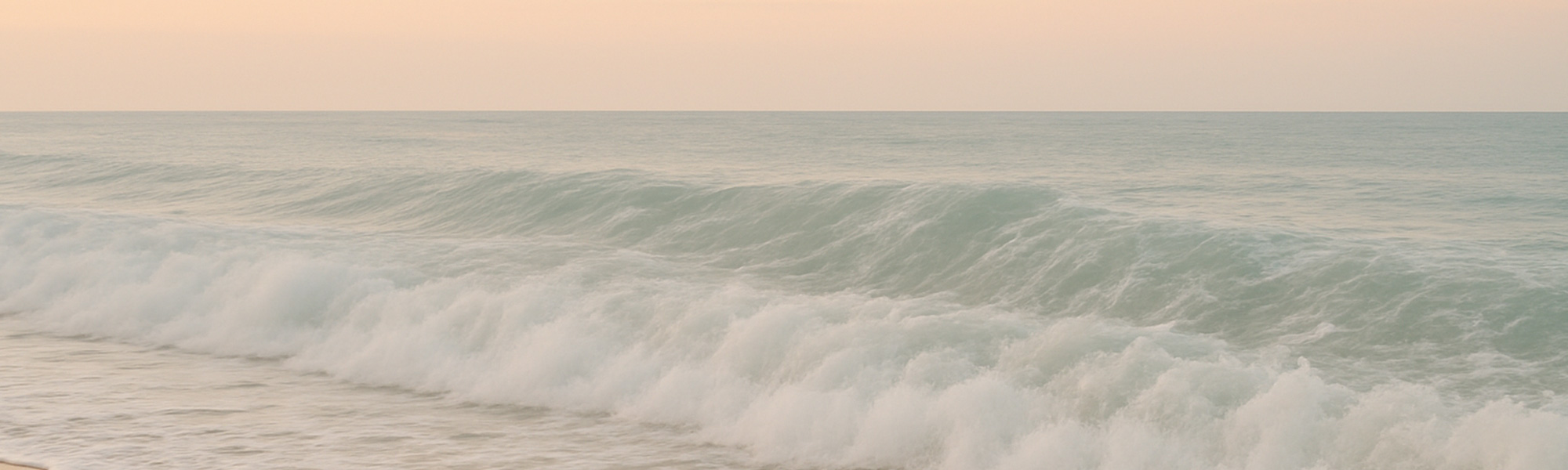
In deep water, a tsunami travels fast, often as fast as a jet aircraft. But it is not a breaking wave. It is a long, low, fast-moving distortion of the water column. Vessels in deep water barely notice its passing. The power is in its length, not its height. Only when it approaches shallower water does it rise.
The key point for the Gold Coast is that a tsunami arriving from these distant regions must cross thousands of kilometres of open ocean before reaching the Australian continental shelf. That distance buys time - potentially hours of it - for monitoring agencies to detect the initial quake, assess tsunami potential, analyse deep-ocean buoy readings and issue graduated warnings long before the wave arrives.
It also forces the tsunami to encounter the enormous breadth of the continental shelf. Unlike places where deep trenches lie just offshore, here the seabed remains shallow for a very long distance, forcing the tsunami to slow and flatten. The depth profile is simply not conducive to generating tall, steep, breaking waves. Instead, the water thickens, rises gently, and surges inland in a movement that resembles a fast tide more than a wall of water.
This does not remove danger entirely. Fast-moving water is powerful. But it profoundly changes the nature of the hazard.
The Continental Shelf: The Gold Coast's First and Most Important Defence
Imagine the seabed stretching outward like a giant ramp. It rises toward the surface gradually, metre by metre, kilometre by kilometre. A tsunami travelling across deep ocean meets this ramp and begins to slow. Its wavelength is so long that it feels the bottom long before the water becomes shallow. The wave stretches. Its speed decreases dramatically. The energy spreads. It begins to lose height.
The Gold Coast's shelf is unusually broad. It forces any incoming tsunami to undergo this transformation for a long time before reaching shore. In effect, it de-powers the wave. The water still moves with extraordinary horizontal force, but the iconic towering waveform seen overseas does not occur here. The geometry simply does not allow it.
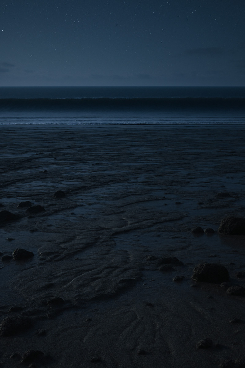
This means a tsunami arriving here does not look like a breaking monster. It looks like the ocean behaving strangely. Water withdrawing rapidly, then returning in a continuous, forceful push. The sea level rising in minutes rather than hours. A surge that does not curl and crash but simply arrives.
This is exactly the kind of tsunami the Gold Coast would experience. Not a cliff of water, but a racing surge that feels eerie because of its unfamiliarity.
How the Gold Coast Absorbs Tsunami Energy
The Gold Coast's offshore sandbanks form the famous surf breaks. These natural formations do far more than shape waves. They act like a secondary filter for incoming energy. As a tsunami approaches, the irregular contours of the banks break the wave front into uneven segments, scattering energy sideways and reducing the coherence of the wave.
Then comes the dune system. These dunes, built by wind, seasonal tides and storm swell, rise several metres above normal water levels. They behave like natural levees. For most realistic tsunami scenarios, the dunes are not overtopped at all. Even in extreme theoretical scenarios, the dunes hold back the majority of the water, with only shallow overtopping in the lowest-lying beachfront sections.
Not all dunes are equal. Main Beach and the northern end of Surfers Paradise sit behind robust, high dunes that provide strong protection. Broadbeach and Miami have slightly lower dune fronts but are still substantial. Palm Beach varies significantly, with some sections having narrower dune margins due to historical erosion. Currumbin and Kirra sit within more enclosed coastal shapes, where tidal flow dynamics influence how surges behave. But across the entire strip, the dunes are a decisive protective feature, and only the highest-end, extremely rare modelling scenarios show water overtopping them in notable volumes.
Tide height adds another layer. A surge coinciding with low tide may climb the beach face without touching the dunes. A surge arriving at king tide increases reach and energy inland. Tide timing is one of the most important real-world multipliers of tsunami impact here.
Creek Mouths
Currumbin Creek, Tallebudgera Creek and the Nerang River mouth respond to tsunami surges in ways that the open beach does not. Their narrow entrances trap and focus incoming water. A surge arrives and accelerates into the channel. Water levels can rise shockingly fast inside the creek. Boats moored alongside can twist and strain against their lines. The water behaves like a rapidly rising tide on fast-forward.
This behaviour often appears more dramatic than anything happening on the beach. Creek mouths are dynamic gateways. Incoming surges flood upstream faster than people expect. Outgoing surges drain in visually unsettling ways. These entrances would be some of the most animated, unpredictable sights during a tsunami event. Even a relatively low-energy surge can produce swirling patterns, sudden drops and abrupt accelerations that create real danger for anyone near the water's edge.
But even here, inland inundation is limited. The water moves violently within the channel, not across the land beyond it.
The Broadwater
The Broadwater is one of the most misunderstood parts of Gold Coast tsunami behaviour. People often assume its inland location protects it entirely. Others assume water would funnel into it catastrophically. The truth lies somewhere in between.
A tsunami arriving at the Southport Seaway encounters a narrow entrance compared to the open ocean frontage. This entrance acts like a valve. It restricts wave energy and forces the incoming water to stretch horizontally as it enters the Broadwater. Instead of a violent surge, the Broadwater experiences a rapid uplift, a thickening of water that moves swiftly but not explosively.
Inside the Broadwater, the landscape complicates the surge further. Water channels along deep navigation paths, rises into marina basins, and pushes against canal mouths. Boats tied in marinas may swing violently. Floating pontoons may rise high enough to strain against their guide poles. But residential canal-front homes sit at elevations designed to resist even severe storm tide, and tsunami inundation depths are smaller than the heights produced by some cyclone-driven events.
The Broadwater behaves not like a bay taking a direct hit, but like an estuary experiencing a sudden powerful tide. It is dangerous, fast, and messy, but it is not catastrophic for inland suburbs.
The SMBI Islands Softened Experience
The Southern Moreton Bay Islands sit behind one of the most remarkable natural protective systems on the Queensland coast. North Stradbroke Island stands tall against the Pacific, absorbing the brunt of incoming energy. Any tsunami must cross its offshore sandbars, climb its steep beach faces, and lose height across its long shoreline before even entering the bay.
Only a portion of the tsunami's energy can enter Moreton Bay, and it does so through very limited pathways. These pathways force the wave into shallow channels, spreading it thin over tidal flats that remove further energy. By the time the water reaches Russell, Macleay, Lamb or Karragarra, its character has changed completely. It no longer resembles a tsunami. It resembles an abnormal, rapid tide rise.
Along the foreshore, residents might see water surge unnaturally high or retreat suddenly. Jetties and pontoons may rise, fall or swing. The sound of water may deepen. But the residential interior of each island remains safe. The inundation modelling for even extreme scenarios shows water staying close to the shoreline. The islands' elevations, even modest ones, are enough to keep homes above any conceivable tsunami waterline.
For island residents, the safest action is to move inland and away from the water's edge, not to leave the island. Leaving is unnecessary and impossible, as ferries do not operate during these events.
Multiple Waves: Why the First Surge Is Rarely the Strongest
A tsunami does not arrive as a single event. It arrives in waves spaced minutes to an hour apart. The first wave is often not the largest. The second or third may carry much more energy. People standing on a dune watching the ocean may see the first surge and conclude the threat has passed, only for a much larger surge to arrive later.
This repeating pattern can last several hours. Water levels may rise quickly, fall back, surge again, recede again. The coastline may look deceptively calm between waves. This behaviour is why authorities emphasise staying away from the water until the official all-clear is issued. The true danger often lies after the first visible movement.
A Moment-by-Moment Scenario: Moderate Tsunami
Imagine a warm midday when the ocean appears normal. Then phones begin alerting people that a tsunami warning has been issued. Surf clubs close the beaches. Lifeguards whistle people out of the water. Groups of walkers along the esplanade pause, checking their screens and looking toward the horizon.
Over the next half hour, the ocean begins to behave in a way that creates an eerie atmosphere. The tide appears to drain more quickly than usual. At low tide, the sandbars extend so far that people cannot believe how wide the beach suddenly looks. The burble of surf quietens. The wind carries the salt smell differently. A sense of stillness spreads over the beachfront.
Then the water returns. Not as a wave, but as a thick push, like the ocean is inhaling. The rise is noticeable. It accelerates. The dry sand disappears quickly. In creek mouths, boats begin to twist. Water runs inland faster than expected. In the Broadwater, the surface grows glossy and smooth, then ripples form as the surge enters the marinas.
People inland feel nothing except the nervous energy of watching updates.
Then the water falls again, as abruptly as it rose. The beach widens, then the ocean surges back once more. The second surge is bigger. The water climbs higher into the beachfront slope. Creek mouths churn more violently. The sound deepens into a resonant rushing noise, like a large tide arriving unnaturally fast.
This cycle repeats multiple times.
For most of the Gold Coast, this is the entirety of the experience: an unsettling, abnormal, powerful reshaping of the waterline without inland flooding except in low, extremely rare points. It is dramatic but manageable.
This is what a tsunami really looks like here.
Why Tide Height, Weather Systems and Swell Cycles Change the Impact
A tsunami arriving during low tide has limited reach. A tsunami arriving at king tide climbs significantly higher. A tsunami arriving during a large swell event encounters different beach profiles, sand elevations and erosion states. Seasonal erosion cycles at Palm Beach or Currumbin change dune freeboard. After storms, beach height may be lower, making overtopping more likely.
Emergency planners consider these variables because they alter the behaviour of the surge. A moderate event during low tide might leave the dunes untouched. The same event at high tide may push water higher against the dune face but still not overtop it. Extreme scenarios always emphasise tide timing as a decisive factor.
What Residents Should Actually Do When a Tsunami Warning Is Issued
Because tsunami warnings here come with time, the focus is not speed, but clarity.
If the warning instructs evacuating your coastal zone, move inland away from the foreshore. Even modest elevation increases of a few metres completely remove inundation risk for most of the coastline. Gold Coast suburbs only a few streets back from the beach sit on elevated ground that places them safely above even severe modelling scenarios.
If you are in a high-rise building on the beachfront, evacuation orders relate to ground-level access, not the safety of upper floors. If your building is in the evacuation zone, follow instructions. If not, and official guidance does not require evacuation, remaining inside is safe.
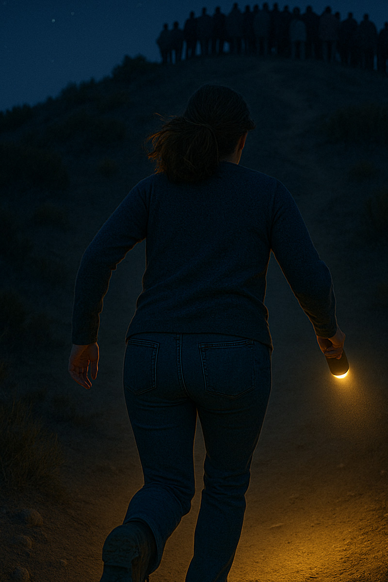
If you are at the beach, leave immediately. The danger is at the water's edge, not inland.
If you are on an SMBI island, stay on the island and move inland. Waterfront edges are dangerous. Inland streets are safe. Do not go to jetties or ferry terminals.
If driving, avoid foreshore roads and move inland. Do not attempt to “see” the tsunami.
Remain away from the water until the all-clear. Multiple waves can produce delayed surges.
What Happens After the Event
Even when the surges stop, the coastline remains unstable. Debris may float across creek entrances. Sandbars may shift. Pontoons may be off-level. Canals may contain floating hazards. Surf conditions remain unpredictable. Authorities may close beaches temporarily to reassess conditions and check for erosion, drop-offs or rapid channel formation.
The ocean takes time to settle. Even without visible surges, residual currents can persist under the surface. Inland areas experience none of this, but coastlines need inspection, patience and caution.
The Final Perspective: Safe, But Informed
The Gold Coast and the SMBI islands live beside a vast ocean, but their geography protects them more than many people realise. The broad continental shelf, powerful dune system, protective sand islands and long travel distances from likely tsunami sources reduce risk dramatically. Tsunamis here are real but softened, stretched, slowed and filtered by the landscape itself.
Residents should take warnings seriously, understand their local zones, and follow official instructions. But they can also take comfort in knowing that this coastline is one of the most naturally defensive environments against tsunamis anywhere in the Pacific.
A tsunami here is unsettling, dramatic in isolated places, and powerful along shorelines - but it is also predictable, monitored and survivable for any community willing to act calmly and responsively.
You might also like


Disclaimer: Every effort has been made to ensure the accuracy of the information provided, but we make no guarantees regarding its completeness or reliability. The data is presented for general informational purposes only and does not constitute financial, investment, or legal advice. We are not liable for any errors, omissions, or consequences arising from its use. Users should verify details with relevant sources and seek professional advice where appropriate for the most accurate and up-to-date guidance.